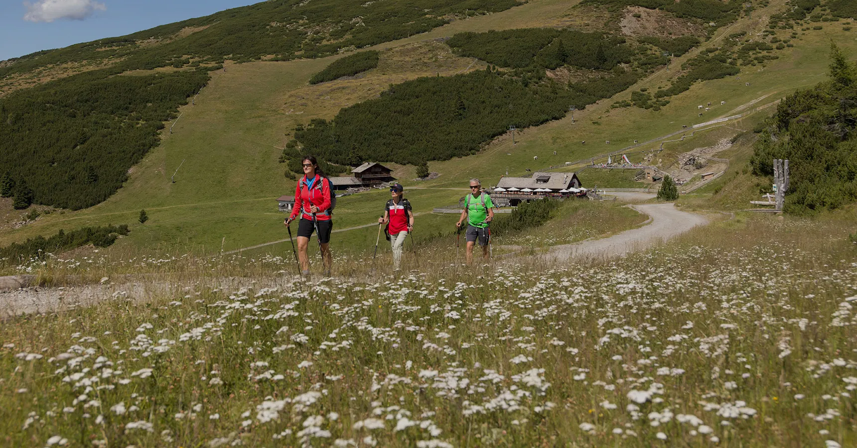
Three hikers with poles on flowering alpine meadow, sunny landscape with mountain hut
Summer in
the Sarntal

Summer in the Sarntal Valley: experience nature, stay active and enjoy the peace

Summer in the Sarntal Valley is at its most beautiful: lush alpine meadows, impressive mountain peaks and fresh mountain air invite you to experience nature with all your senses. Whether you prefer a leisurely holiday or an active mountain adventure, everyone can find their own personal escape here. Whether you would like to hike, cycle, swim or simply enjoy the peace and quiet, the Sarntal Valley offers countless opportunities for unforgettable holiday experiences.

Your summer holiday at the Almhotel Bergerhof

The personally run Almhotel Bergerhof enjoys a peaceful location on a sunny mountainside at an altitude of around 1,250 metres, making it an ideal base for a varied summer holiday in the Sarntal. Hiking trails and mountain bike routes can be found close to the hotel, while the Reinswald hiking and ski area is only around three kilometres away.

The Sarntal is also easy to explore without a car: the nearest bus stop is located approximately 100 metres from the hotel, and the South Tyrol Guest Pass included with your stay allows you to use public transport throughout South Tyrol free of charge. A dedicated bicycle storage room is also available.

After an eventful day in the mountains, you can unwind in our sauna or heated outdoor whirlpool. In the evening, you can look forward to regional dishes and homemade cuisine, together with the personal hospitality that makes the Bergerhof so special.
Mountain hike to the Stoanerne Mandln – the Stone Men

Easy
approx. 2 hours, return
approx. 400 m

Distance: approx. 7 km

Starting point: Sarner Skihütte at approx. 1,600 m above sea level, reached from Sarnthein via the road towards Auen


Route description

From the Sarner Skihütte, follow trail no. 2 towards the Stoanerne Mandln. The wide path initially leads through a shady forest. After approximately 30 minutes, you reach the Auener Alm.

Behind the alpine hut, the trail continues across open alpine pastures and climbs to the Auener Jöchl. Here, turn left onto trail no. 23, which follows a broad, gently ascending ridge to the Wetterkreuz and continues to the Stoanerne Mandln.

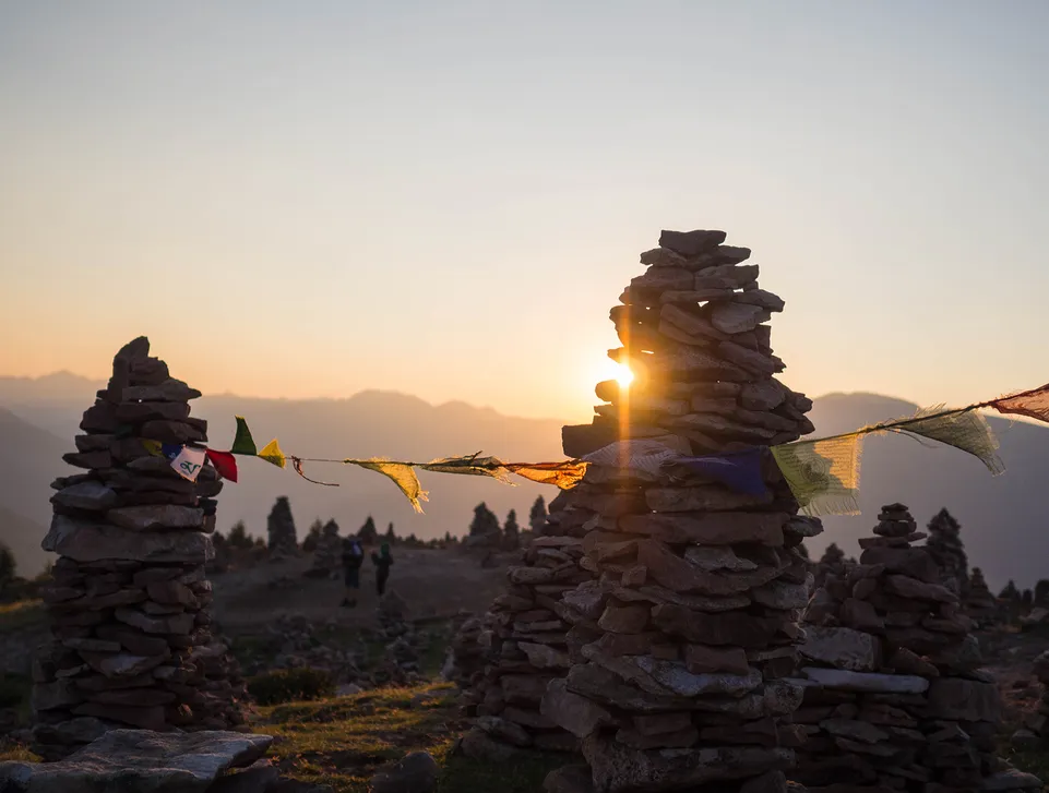
At the summit, you will find numerous figures made from stacked stones, giving the area a mystical atmosphere. The panoramic view of the Sarntal mountains and the Dolomites is particularly impressive, making this a rewarding destination for the whole family.


Return: via the same route.

Possible alternative: follow the same trail as far as the Auener Alm. Shortly afterwards, you can turn right onto a steeper but slightly shorter path.

Stone cairns with colorful prayer flags at golden sunset, meditative mountain mood

Circular walk around Lake Durnholz

Easy
approx. 1 hour

Distance: approx. 3 km

Starting point: car park just below the village, at the end of the road open to public traffic


Route description

From the car park, a short, steep asphalt road leads to Lake Durnholz in just a few minutes. At the lake, first turn right into the forest. You then reach an asphalt road that leads picturesquely past meadows and farms and returns to the starting point.

Possible alternative: a visit to the parish church of St Nicholas in Durnholz is particularly worthwhile. Its unique frescoes rank among the finest and most important in South Tyrol. Shortly before completing the loop around the lake, turn right and follow the short road into the village.

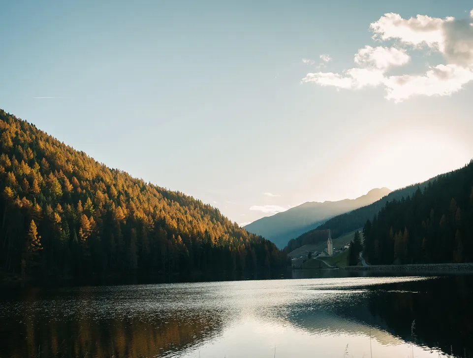
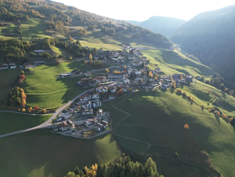
Autumn mountain lake in Sarentino Valley with golden larches and church tower at sunset

Hike to Latzfonser Kreuz, Europe’s highest pilgrimage site

Medium
approx. 5.5–6 hours, return
approx. 850 m in total

Distance: approx. 16 km

Starting point: valley station of the cable car in Reinswald


Route description

From the valley station, follow trail no. 7. The route leads along broad alpine tracks through forests and meadows to the Getrumalm at 2,094 m.

From there, continue on trail no. 7 across the extensive alpine pastures to the Lückl, a small mountain saddle. From this point, you can already see the Latzfonser Kreuz refuge and the pilgrimage church set against an impressive mountain panorama.

A short descent along a few stony switchbacks leads to the destination.

Alternative using the cable car: you can take the cable car from the valley station, saving approximately 560 m of ascent. From the mountain station, follow the wide trail no. 11, which leads along an easy, mostly level route to the Getrumalm. From there, continue as described above.


Return: Via the same route.

Alternative A: from the Getrumalm, follow trail no. 11. After approximately one kilometre, you reach a fork. Keep left and descend towards the Chrust-Gepatsch alpine hut, where you can stop for refreshments. From there, continue downhill towards the Sunnolm on trail no. 9 and then towards Reinswald on trail no. 7.

Alternative B, slightly longer: follow the outward route as far as the Getrumalm. Just below the alpine hut, turn left onto the descending trail no. 7A. The path initially leads through a beautiful and peaceful landscape of streams and meadows. Continue along a pleasant forest path to the Reinswalder Mühlen. From there, follow the signs towards Reinswald and the valley station.

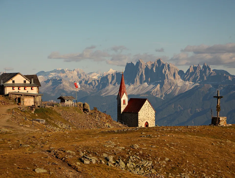
Latzfons Cross with mountain refuge and chapel against Dolomites panorama at dusk

Hike to the Totenkirchl

Medium
approx. 4 hours, return
approx. 630 m

Distance: approx. 12 km

Starting point: valley station of the cable car in Reinswald


Route description

From the valley station in Reinswald, follow trail no. 7 and the signs marked “zum Toten” and “Totenkirchl”. The path enters the forest and passes the Stations of the Cross.

It then climbs to the right along narrow forest trails until you reach the wide alpine pastures. Crossing small bridges and meadows, you eventually arrive at the Seeberg. From there, follow trail no. 6 uphill across partly stony terrain to the Totenkirchl.

Tip: from the Totenkirchl, follow trail no. 2A to reach the beautiful Totensee in just under 15 minutes. This clear mountain lake is set against a picturesque alpine backdrop.


Return: via the same route.

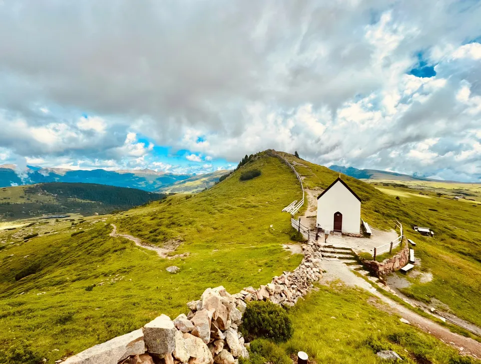
Small white chapel on green ridge with hiking trail and cloudy sky in Sarentino Valley

Hike to the Sattele, a unique panoramic viewpoint

Hard
approx. 4.5 hours, return
approx. 890 m

Distance: approx. 12 km

Starting point: valley station of the cable car in Reinswald


From the valley station in Reinswald, follow the signs towards Pichlberg, initially on trail no. 7 and then on trail no. 9.

From the Pichlberg mountain restaurant at the cable car mountain station, continue along trail no. 9B. After a short section on a wide forest road, turn left and follow the path across the mountain meadows to the gentle ridge, from where the summit cross is already visible.

Continue along the narrow and slightly stony path to the summit, where a breathtaking 360-degree panorama awaits.

Alternative using the cable car: taking the cable car from the valley station in Reinswald to the mountain station saves approximately 560 m of ascent. The total walking time is reduced to approx. 1 hour and 45 minutes, comprising around 1 hour for the ascent and 45 minutes for the descent. The hike remains just as rewarding but is considerably less demanding.

Tip: from the Sattele, you can continue to the neighbouring Plankenhorn or descend towards the Morgenrast summit before returning to Reinswald via the Pfnatschalm.


Return: via the same route.

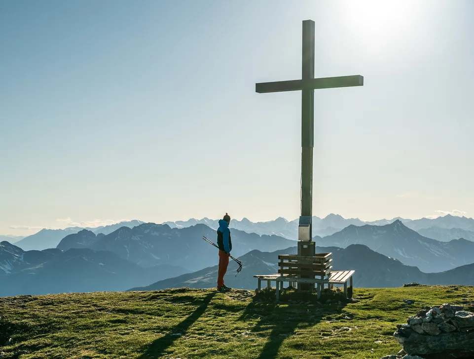
Hiker at summit cross enjoys broad view over South Tyrolean mountain ranges

Family adventure on the Urlesteig

Medium
approx. 5 hours for all stages
approx. 630 m

Distance: approx. 13 km

Starting point: valley station of the cable car in Reinswald

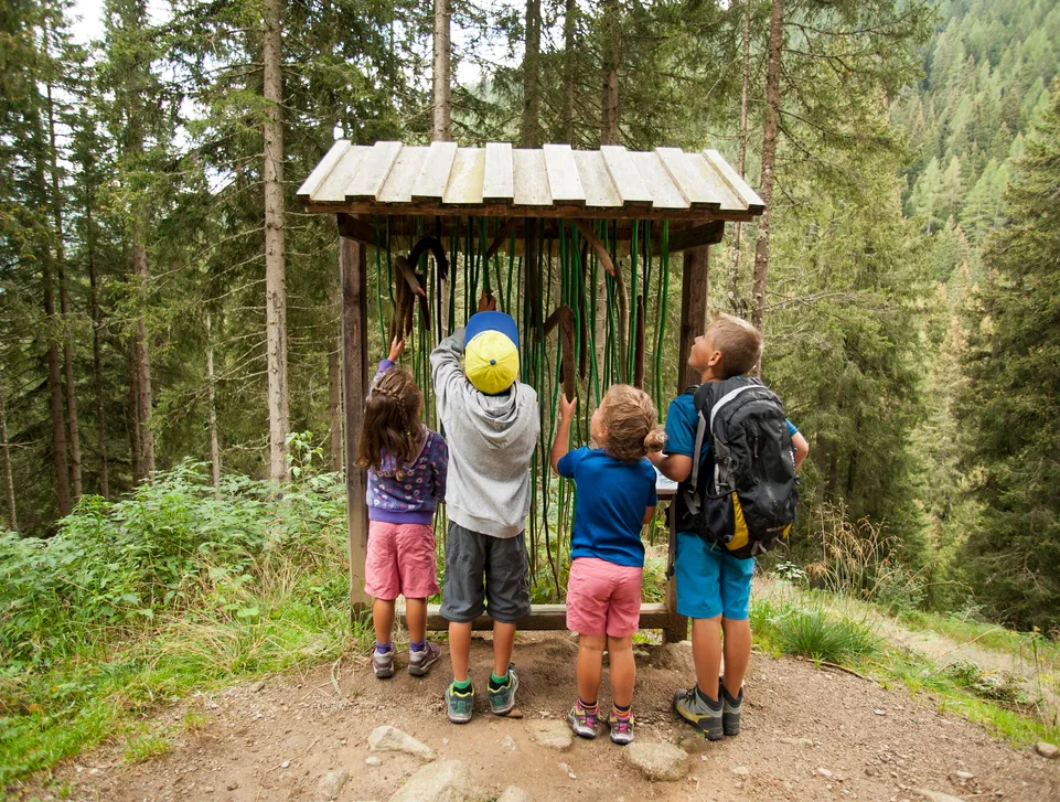
With its six stages, the Urlesteig offers a unique experience for the whole family. Its various themed areas, including water and animals, allow children to explore, climb, discover new things and enjoy themselves in the heart of nature.


Route description

From the valley station of the Reinswald cable car, follow trail no. 7. The path passes a wayside weather cross and leads to the Sunnolm alpine hut, where there is a children’s playground.

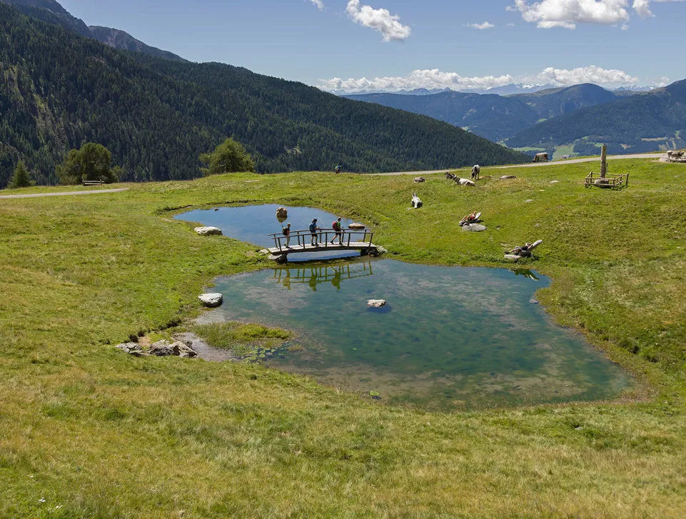
From the Sunnolm, trail no. 8, later becoming trail no. 9A, crosses alpine meadows and leads to the Pfnatschalm. Here, a pond with a raft invites children to play in the water.

Continue along trail no. 11 towards the Pichlberg mountain restaurant and then follow a wide, mostly level path to the Getrumalm. Along this section, visitors of all ages can discover fascinating insights into the history and culture of the Sarntal Valley.

From the Getrumalm, descend for a short distance on trail no. 7 towards Reinswald until the mill trail no. 7A branches off to the left.

The trail follows the Getrum stream downhill and leads through forests and meadows. Along the way, interactive stations provide information about the world of plants and the forces of nature.

You eventually reach the Reinswalder Mühlen, where refreshments are available and another children’s playground awaits.

To complete the route, follow the signs towards the Reinswald valley station. Further activity stations, this time dedicated to alpine meadows, accompany you back to the starting point.

Mountain lake with wooden bridge on alpine meadow in Sarentino Valley, grazing cattle and panoramic view

Legend Trail in Aberstückl

Easy
approx. 1 hour and 15 minutes, return
approx. 70–90 m

Distance: approx. 3 km

Starting point: seventh bend on the Aberstückl farm road, following the signs for the Sagenweg; from there, continue on foot to the Wippingerhof, where the Legend Trail begins


The Sarntal is rich in myths and legends. On the Legend Trail in Aberstückl, parents and children can discover traditional stories passed down through generations and test their knowledge with a quiz based on nine local legends.

A specially designed brochure containing the quiz is available at the beginning of the trail at the Wippingerhof or from the tourist office.


Route description

From the starting point at the Wippingerhof, follow trail no. 13 via the Eggerwiesl to the Durralm alpine hut, where refreshments are available.


Return: via the same route.

Four children discover forest discovery station along themed trail in Sarentino Valley

Sarntal Valley Loop – northern route

Easy
approx. 2.5 hours
approx. 290 m

Distance: approx. 8 km

Starting point: Sarnthein, large car park at the bus station


The Sarntal Valley Loop consists of two sections: a southern loop and a northern loop. Each section is approximately eight kilometres long. Both routes can also be completed on the same day.

The northern route leads from Sarnthein through the forest to the village of Astfeld. From there, it continues along forest paths back to the starting point.

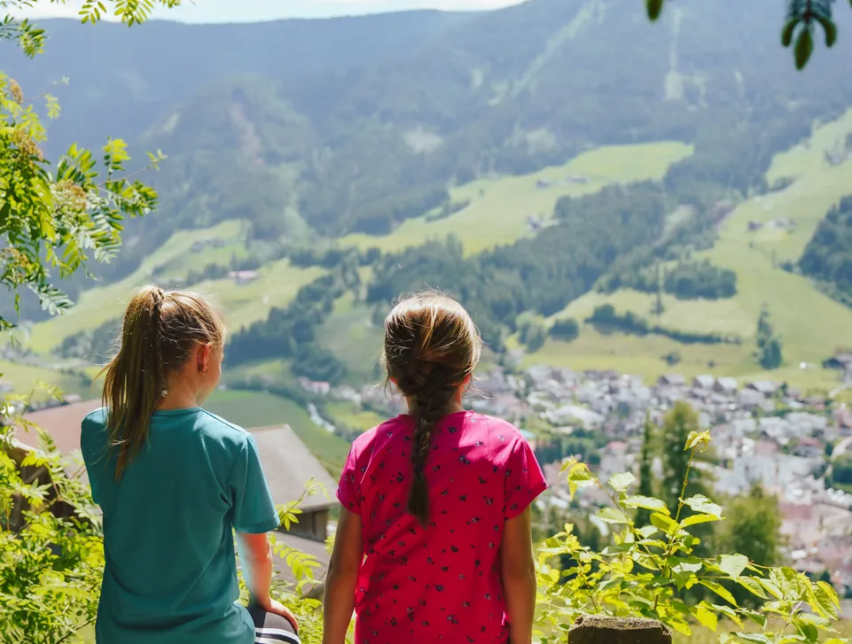
Two girls sitting on wooden fence gazing at green village of Sarentino nestled in valley

Sarntal Valley Loop – southern route

Easy
approx. 2.5 hours
approx. 360 m

Distance: approx. 8 km

Starting point: Sarnthein, large car park at the bus station


The Sarntal Valley Loop consists of two sections: a southern loop and a northern loop. Each section is approximately eight kilometres long. Both routes can also be completed on the same day.

The southern route leads from Sarnthein past the Bad Schörgau inn to the hamlet of Steet. It then passes Reinegg Castle before returning to Sarnthein.

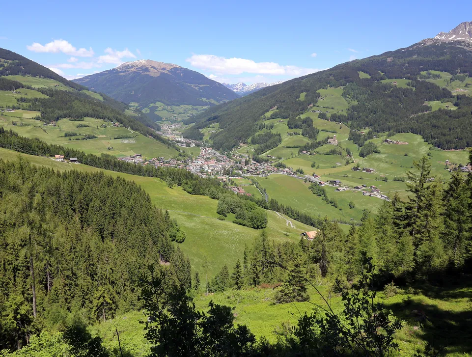
Panoramic view of green Sarentino Valley with village of Sarentino nestled between forested mountain slopes

Hike to the Sarner Scharte and the Villanderer Berg

Hard
approx. 4–5 hours, return
approx. 1,000 m

Distance: approx. 11 km

Starting point: Riedlsberg car park at 1,500 m above Sarnthein


Route description

From the car park at the Riedlerhof, follow the marked trail no. 3. The route initially leads through the forest and then across boulder fields and rocky terrain.

The next section climbs steeply in switchbacks to the so-called Schartl. A bivouac hut stands immediately to the right. Finally, follow trail no. 2 to the summit cross on the Sarner Scharte.

Those who wish can continue to the nearby summit of the Villanderer Berg. The additional route takes approximately 30 minutes and involves a further 50 m of ascent.


Return: Experienced mountain hikers can return to the saddle between the two summits and follow the secured trail no. 18A down to the Waldrast alpine inn. From there, return to the starting point at the Riedlerhof.

Less experienced hikers should return along the same route used for the ascent.

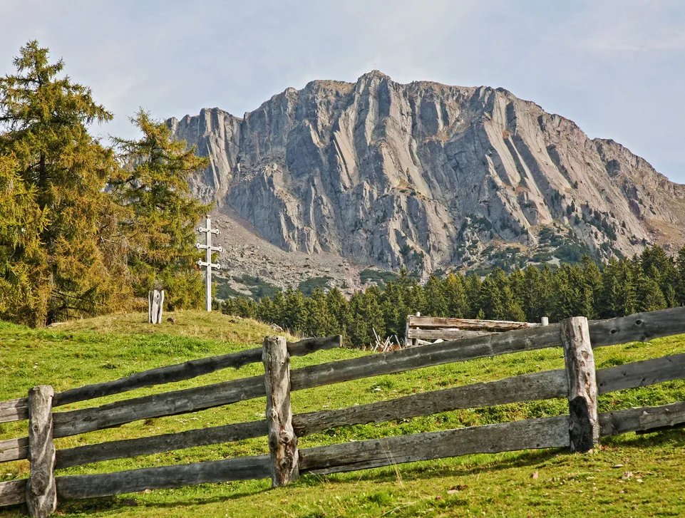
Weathered wooden fence on alpine meadow against distinctive rock face in Sarentino Valley

Hike from Durnholz to the Flaggerschartenhütte – Marburger Hütte

Hard
approx. 5 hours, return
approx. 980 m

Distance: approx. 14 km

Starting point: car park below Lake Durnholz


Route description

First, walk up the asphalt road to Lake Durnholz. Follow the western shore to the northern end of the lake, then keep left and follow the signs towards the Flaggerschartenhütte, also known as the Marburger Hütte.

Initially, trail no. 16 follows the asphalt road. At a sharp right-hand bend, turn left into the forest and climb to the Seebalm.

Continue along trail no. 16, initially through the forest and then across open alpine pastures and slopes covered with mountain pine.

In the final section, the trail climbs more steeply across rocky terrain and large boulders to the Flaggerscharte. From there, the mountain hut and the nearby Flaggersee can be reached in just a few minutes.


Return: via the same route.

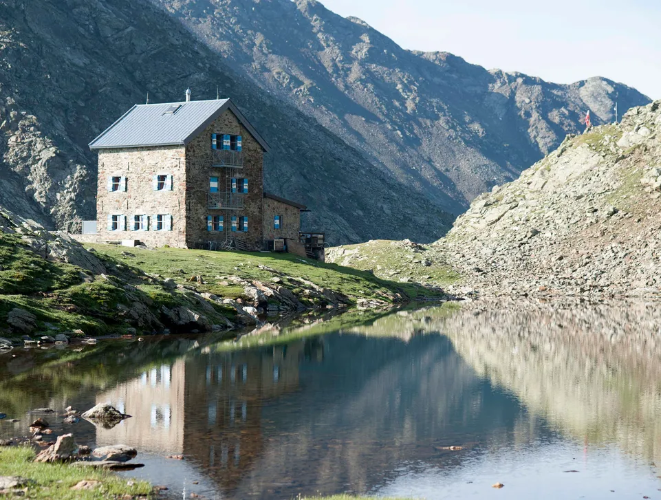
Stone mountain hut at mirror-like alpine lake surrounded by jagged rock faces in South Tyrol

Hike to the Waldrast alpine hut

Easy
approx. 1 hour and 15 minutes, return
approx. 250 m

Distance: approx. 4 km

Starting point: car park at the Hallerhof on the Riedlsberg above Sarnthein


Route description

From the car park at the Hallerhof, follow trail no. 3A to the Waldrast alpine hut.


Return: via the same route.

Alternative: those wishing to extend the hike can start from the large car park at the bus station in Sarnthein. Initially follow trail no. 3 and then continue along trail no. 3A as described above.

The complete route takes approx. 3.5 hours, covers around 12 km and involves an elevation gain of approx. 800 m.

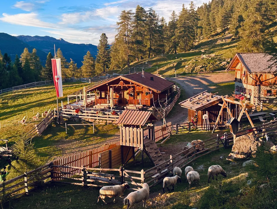
Rustic alpine huts in warm evening light with grazing sheep in Sarentino Valley

Hike to the Getrumalm

Easy
approx. 2 hours, return
approx. 100 m

Distance: approx. 6.4 km

Starting point: mountain station of the cable car in Reinswald at Pichlberg


Route description

From the mountain station of the Reinswald cable car at Pichlberg, follow the wide trail no. 11 towards the Getrumalm.

This mostly level section also forms part of the family-friendly Urlesteig adventure trail and is dedicated to the history and culture of the area. The panoramic path winds gently through the landscape and offers wonderful views of the Sarntal mountains.

After approximately one hour of leisurely walking, you reach the picturesque Getrumalm at an altitude of 2,094 m. Here, you can stop for a hearty meal featuring traditional South Tyrolean cuisine.

Tip: from the alpine hut, you can continue uphill along the trail towards the Kassianspitze. After approximately 50 minutes, you reach the beautiful Getrumsee at 2,368 m, a clear mountain lake surrounded by rugged alpine scenery.


Return: via the same route.

Alternatively, you can descend from the Getrumalm to the valley station via trail no. 7 or continue along the remaining section of the Urlesteig beside the Getrum stream.

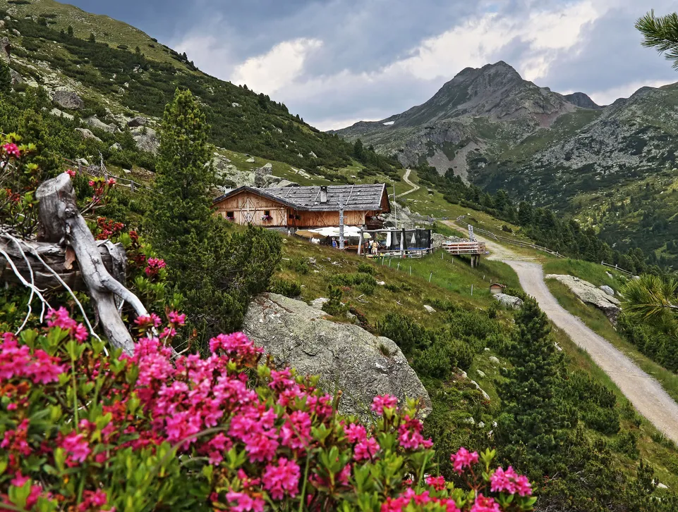
Alpine mountain hut in Sarentino mountains with blooming alpine roses and dramatic sky

Hike to the Marterloch and its suspension bridge

Easy
approx. 2.5–3 hours
approx. 150 m

Distance: approx. 10 km

Starting point: Bundschen, at the Gasthof Bundschen


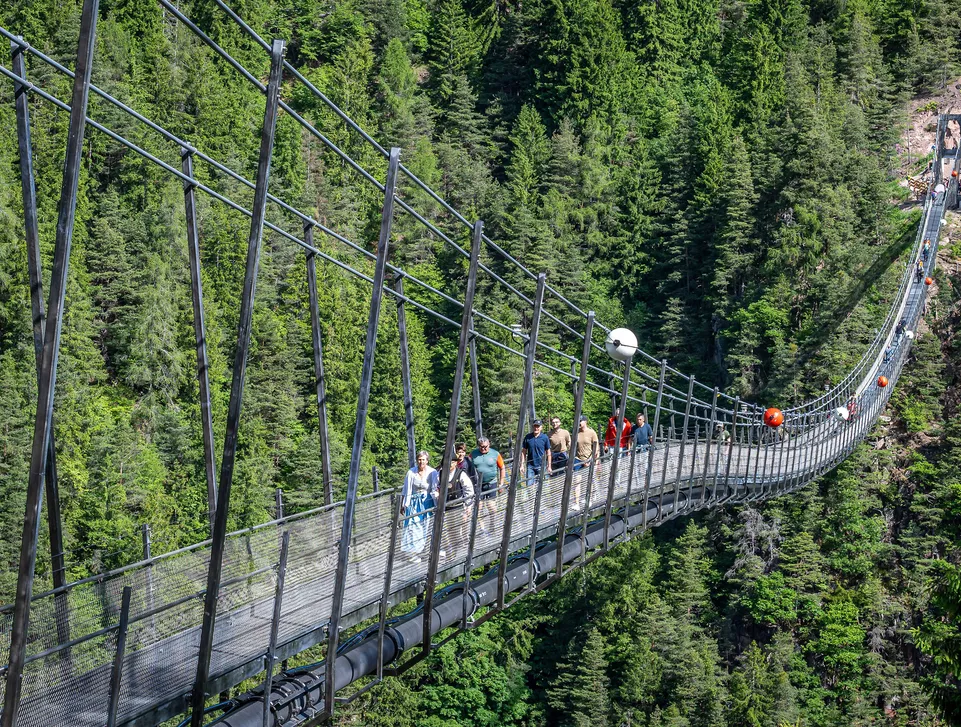
The impressive suspension bridge over the Marterloch is 272 m long and hangs up to approximately 130 m above the valley floor.


Route description

Follow the trail markings to the right of the Gasthof Bundschen towards the Marterloch and the suspension bridge. Trail no. 1 leads through forests and meadows, passing several farms before reaching the suspension bridge over the Marterloch.

Continue towards Afing and descend from there to Halbweg or the Moarhäusl. Both locations have a bus stop, allowing you to return conveniently to the starting point by public transport.

Hikers cross suspension bridge over forested gorge in Sarentino Valley in summer

Hike to the Öttenbacher Alm

Easy
approx. 1 hour and 20 minutes, return
approx. 250 m

Distance: approx. 3.5 km

Starting point: car park at the Obemarcherhof above Sarnthein


Route description

Initially, follow trail no. 10A gently uphill towards the Öttenbacher Alm.

The final section can be shortened by taking a steep path, also part of trail no. 10A, which climbs through the meadows to the alpine hut.


Return: via the same route.

Tip: the Öttenbacher Alm is an ideal starting point for further hikes. From here, you can walk to the Meraner Hütte in the Merano 2000 hiking area or climb the nearby peaks of Kleiner Mittager, Großer Mittager or Sam.

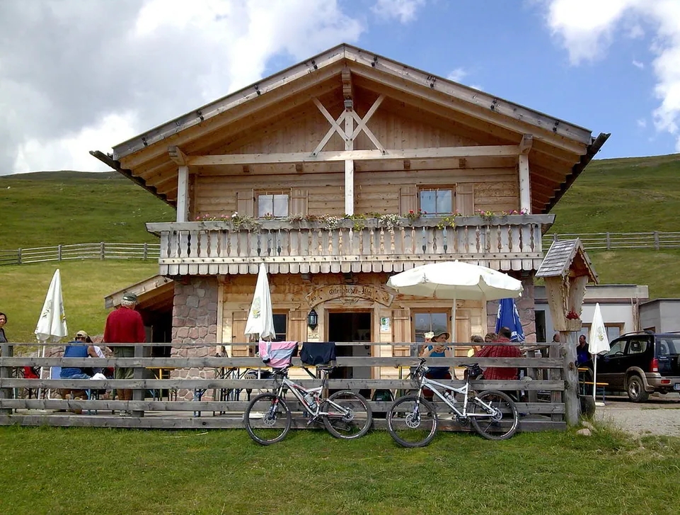
Sunny alpine hut with terrace and mountain bikes at rest stop on Sarentino alpine pasture

Hike to the Kofeljoch-Hütte

Easy
approx. 3 hours, return
approx. 400 m

Distance: approx. 9 km

Starting point: car park below Lake Durnholz


Route description

From the car park, first climb to Lake Durnholz and follow its western shore to a fork. Turn east and follow trail no. 5.

The trail passes the Seeberhof before joining an asphalt road. From the Öbersthof, continue along the forest road, keeping right and following the signs towards the Kofeljoch-Hütte.


Return: via the same route.

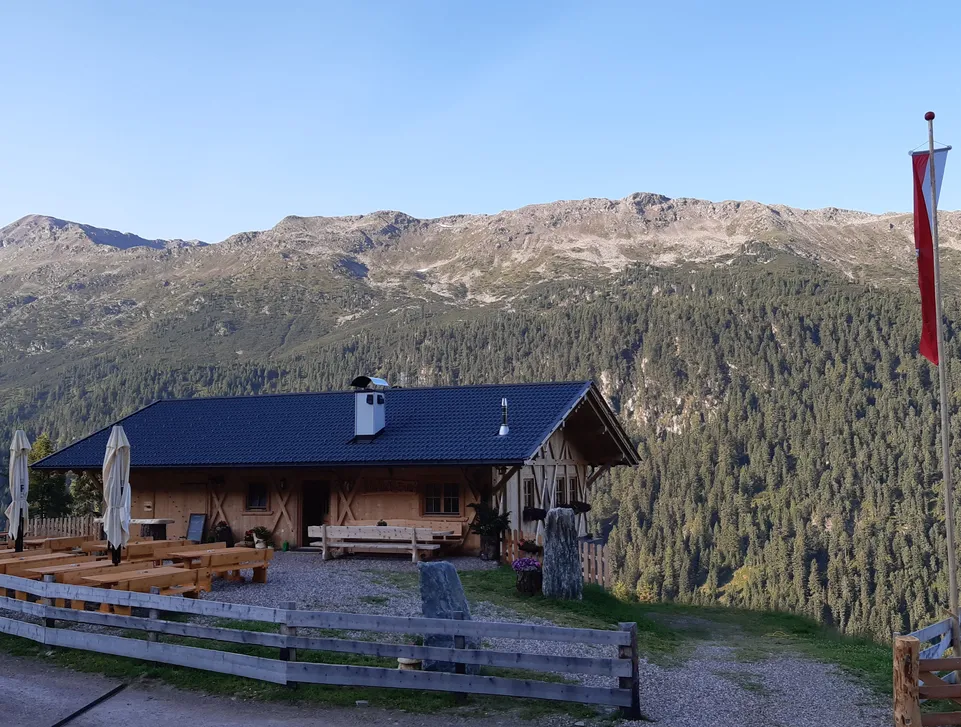
Cozy alpine hut with benches and South Tyrolean flag before forested mountains in autumn

Your room in the Sarntal

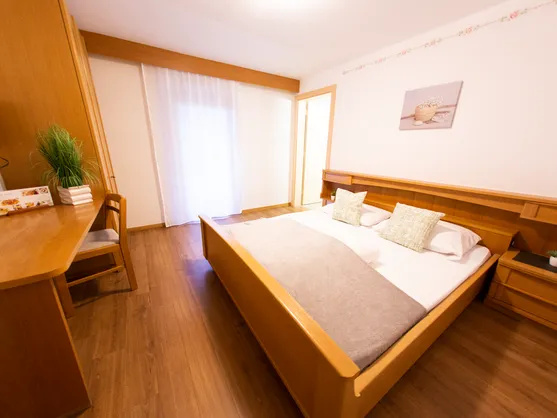
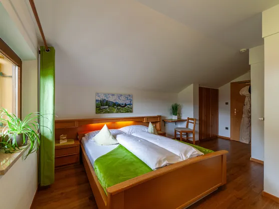
Cozy double room with light wood bed, desk, TV and laminate flooring

Double Room Durnholz

17-20 m²
 | 
for 1-2 people
Cozy attic room with wood bed, bathrobe and alpine mountain hut motif

Double Room Reinswald

20-23 m²
 | 
for 1-3 people